地すべり用心棒®
Landslide prevention
こんな不安がありませんか?

地すべりがいつ来るか分からない
土砂災害に巻き込まれないか不安
台風や大雨でのがけ崩れが心配
現場確認の危険性がある
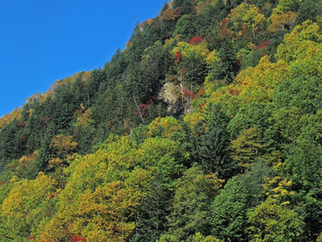
日本は山が多く、梅雨や台風がもたらす豪雨の影響で土砂災害が世界でも多いと言われており、約21 万か所以上が土砂災害や地すべりの危険性を持っていると言われています。
日本に住む以上地形や気候を変えることはできませんが、災害を予兆し防災することはできます。
安全に工事を行う、家に住むことができるよう「地すべり用心棒」が土砂の危険を真っ先に検知しお知らせします。
いつくるか分からない土砂災害を
事前に察知することができれば…
そんな問題を解決するのが
地すべり用心棒です!
選ばれる 3つの理由

モニタリング可能
土の移動量を長期的にデータで確認で きるので、監視・観察をしながら分析を行うことが可能です。
電源がいらない
ソーラーパネル充電を使用しているた め、電源が必要ありません。停電時にも稼働する優れものです。

安心・安全
立ち入り困難な場所でもデータを取り 続けることができるので、直接現場に向かう必要がありません。
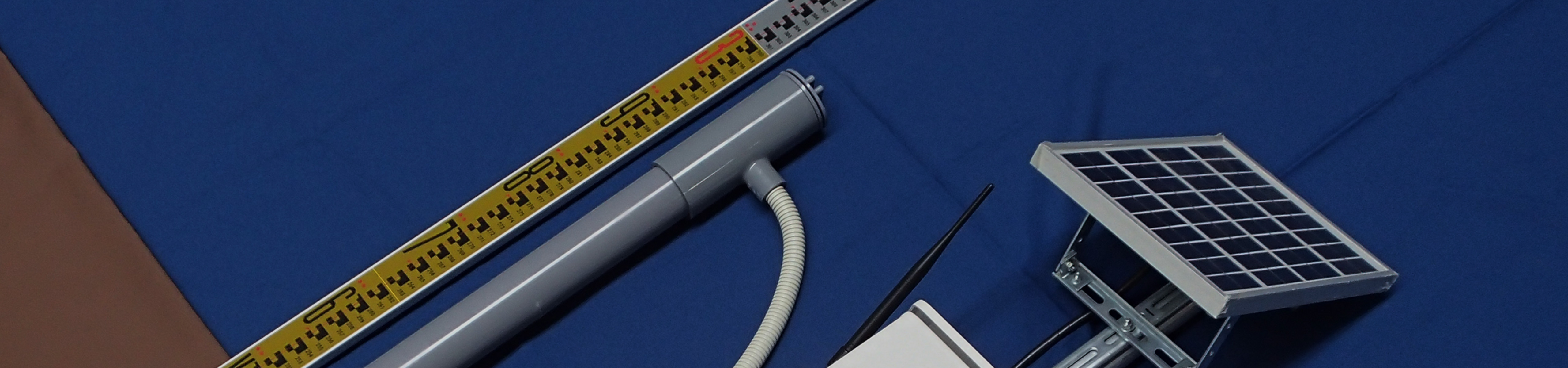
地すべり用心棒とは
about
現場の声から生まれた
斜面変位量測定システム
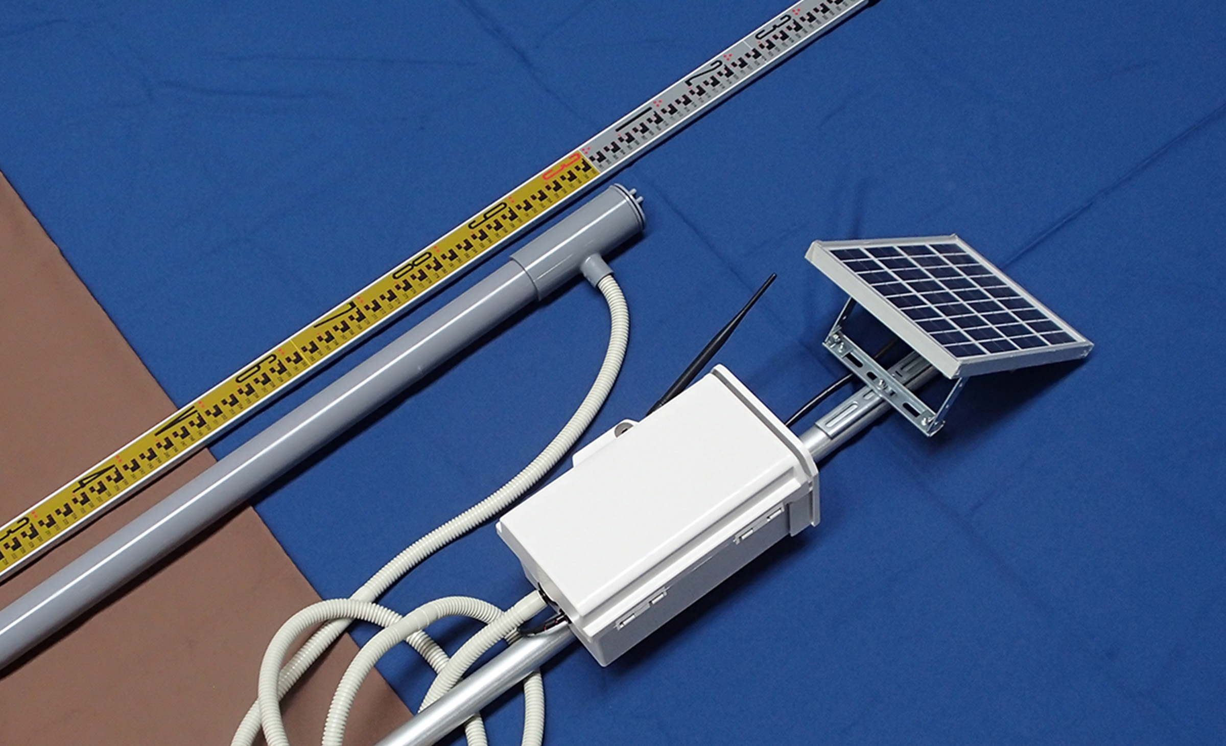
「地すべり用心棒」は土砂災害や地すべり対策に適した、表層土の変位量を検出する計測装置です。台風やゲリラ豪雨の万が一に備え危険を予測します。現場を直接見る必要がなくなるため、スタッフの安全性確保にもつながります。
Landslide YO-JIN-BOW is a measuring device that detects the amount of displacement of the land surface layer and is suitable for sediment disaster and landslide countermeasures. It predicts danger in case of heavy rainfall caused by typhoons or sudden torrential downpours. The system can be operated by solar power and remotely monitored by PC or smartphone, reducing the number of trips to the site and increasing safety.
特徴
feature
01広範囲の地すべりを
予兆監視する
地すべりの恐れがあるエリアに、一例として20m区切りで格子状に地すべり用心棒を複数台設置することで、広範囲の表層土の移動量を監視することができます。現地調査を行い、斜面に合った用心棒の配置をいたします。 雨量計の追加設置も可能です。
In areas with a risk of landslides, we place multiple numbers of the landslide YO-JIN-BOW in a grid pattern with 20-meter intervals as an example, and we can monitor the amount of surface soil movement over a wide area. By surveying the site, we can place the YO-JIN-BOW according to the slope. Additional rain gauges can also be installed.
02PCやスマホから
リアルタイムで監視
PCやスマートフォンに計測データを集約して3G / LTE回線で送信することができます。バックアップモニタリングがついているので、土の移動量の変化を記録することが可能です。ソーラー充電のため、定期的なメンテナンスも必要ありません。

Measurement data can be aggregated and sent to a PC or smartphone via 3G/LTE line. Backup monitoring is equipped to record changes in the amount of soil movement. No periodic maintenance is required due to solar recharging.
03特許取得の
斜面変位量測定システム
斜面に差したセンサポールの傾きを感知し、加速度センサが移動した距離を感知します。4方向の大きさをデジタルで3D算出できるので、地層のモニタリングが可能です。
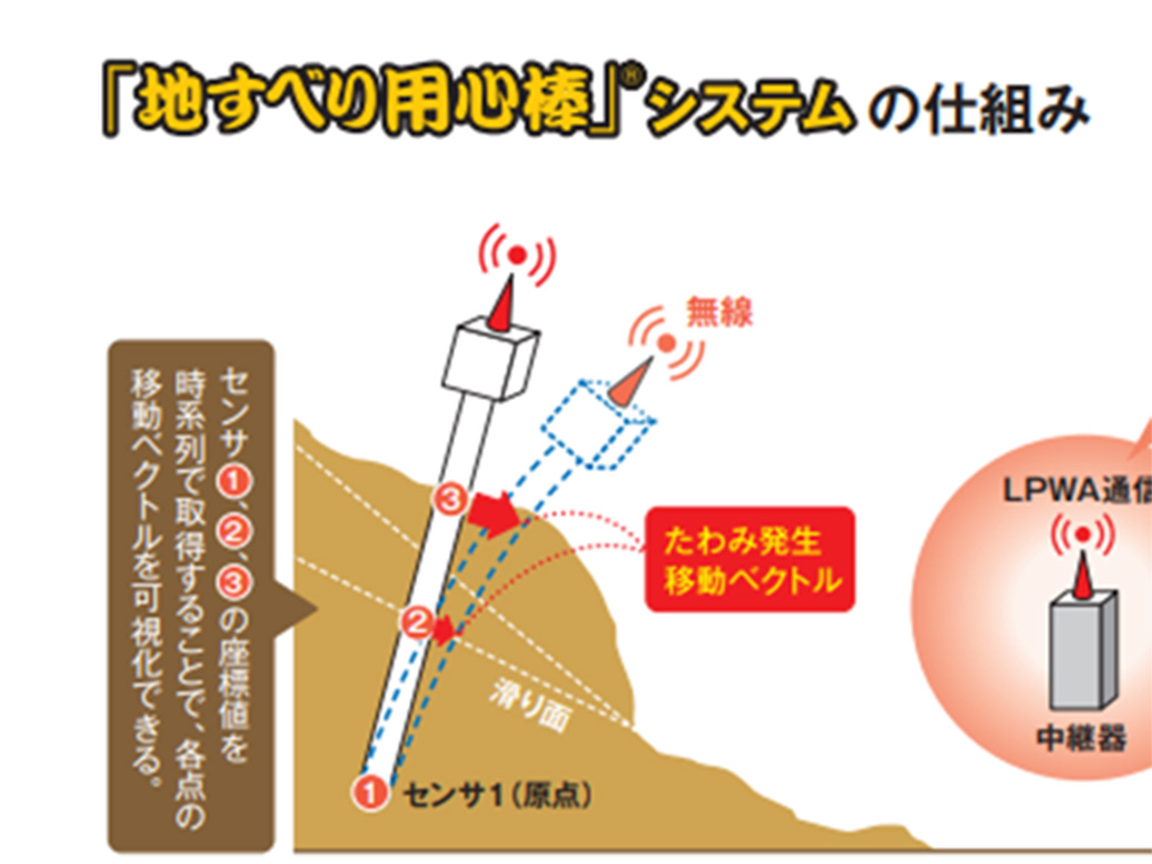
The sensor pole inserted in the slope senses the inclination, and the accelerometer senses the distance traveled. 4-directional magnitude can be calculated digitally in 3D, enabling strata monitoring.
特許番号:第 6750915 号
仕組み
system
斜面に埋設したセンサポールのしなる量をセンサが感知し、表層土の移動距離を算出します。用心棒の上中下3か所に付いている加速度センサの動きを時系列で取得することで、各センサの移動距離を可視化できます。
Measuring devices for detecting the amount of displacement of surface layers, suitable for landslide and landslide control.It predicts the danger in preparation for the worst case such as heavy rain caused by typhoon or guerrilla rainstorm.
ince remote monitoring is possible, the number of visits to the site is reduced, leading to safety.
使用例
use
裏山・通学路の斜面
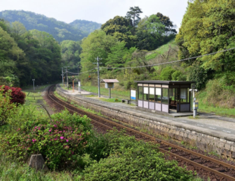
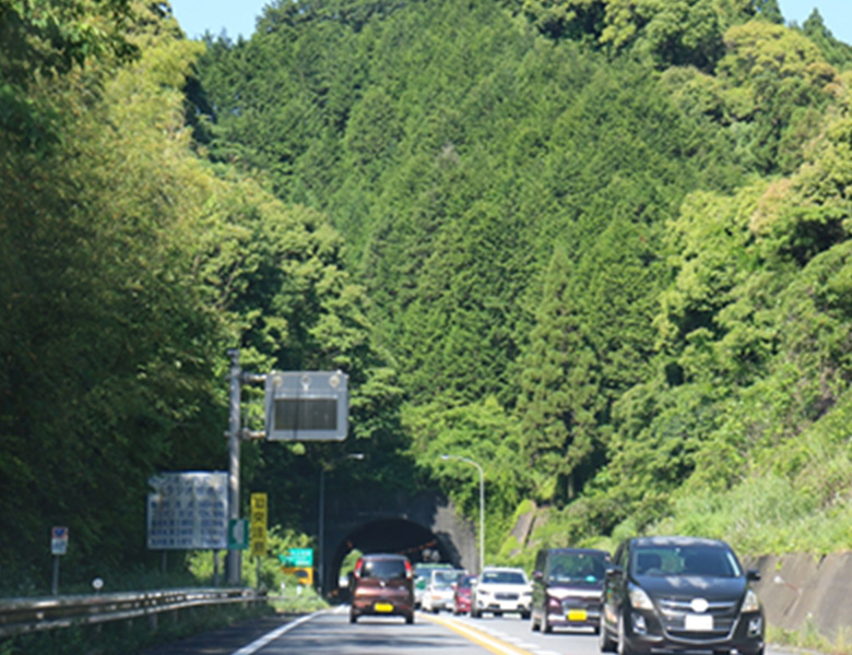
電車の斜面
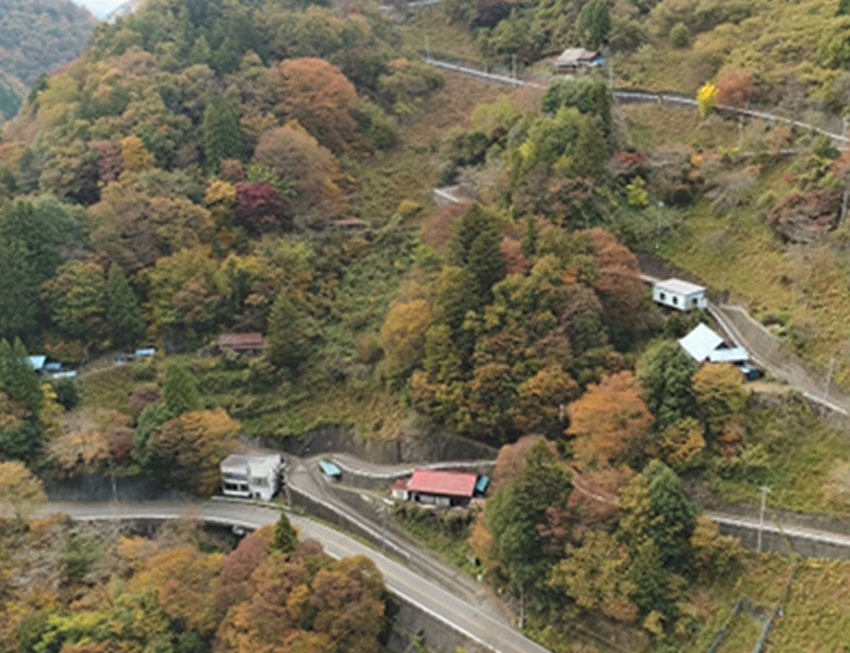
森の宅地
カタログダウンロード
download
詳しい詳細はカタログにてご覧ください。
お客様情報を登録後、カタログをダウンロードできます。
資料請求はこちらをクリック!
contact
〒312-0005
茨城県ひたちなか市新光町38番地
ひたちなかテクノセンタービル内